Cape Raoul Tracks ~ AUS Post #29
March 29 - April 3
After staring up at the southern edge of Bruny from sea level whilst bobbing in a boat, we were eager to peer at this majestic coastline from above moving at our own pace. I had looked at the Three Capes Track on the National Park website, a hut-to-hut 4-day experience for almost $600 AUS a person, but hiking with a group according to a schedule really didn’t fit our idea of adventure.
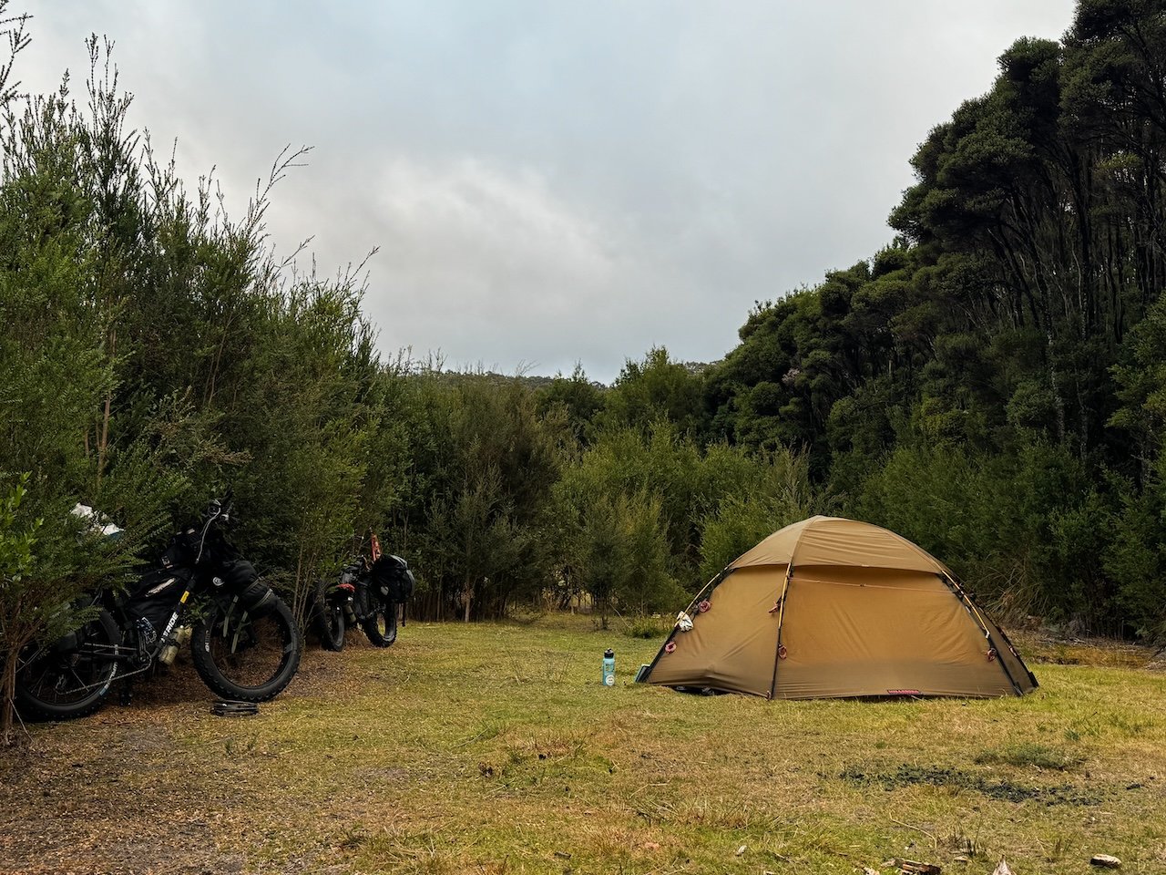
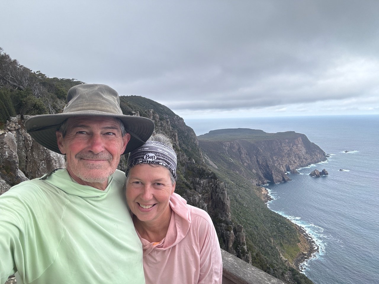
Cape Raoul is the third cape of the actual three capes on the peninsula but isn’t part of “the walk”. It was a perfect way for us to explore the ruggedness of the coastal tablelands at our own pace. We left Port Arthur via the beach and headed further south to a Warm Showers host that just happened to be directly across from the Cape Raoul parking lot, giving us a place to store our bikes and load up our packs for some day hikes.
Cape Raoul Track
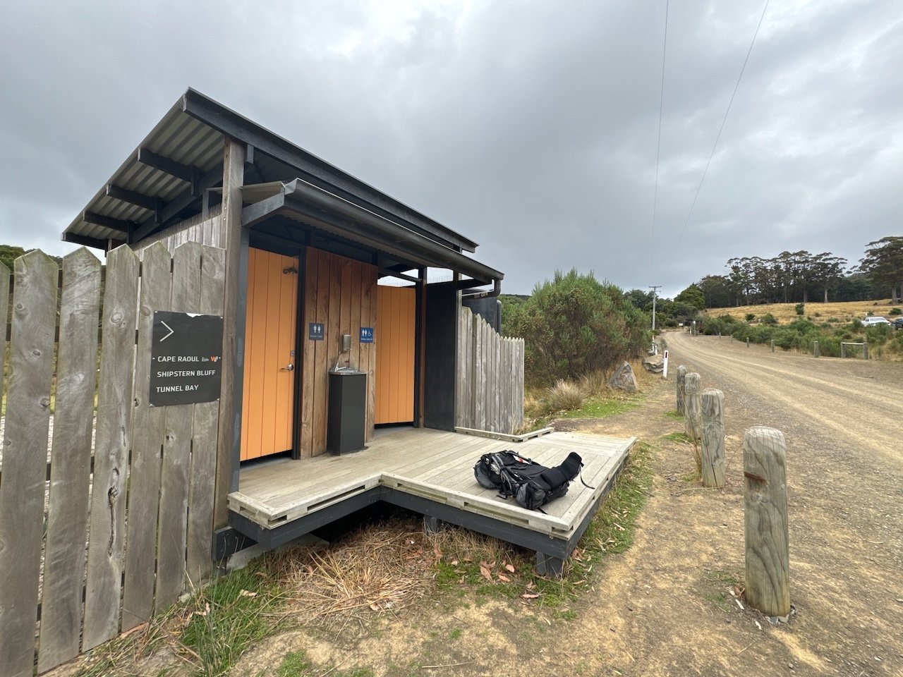
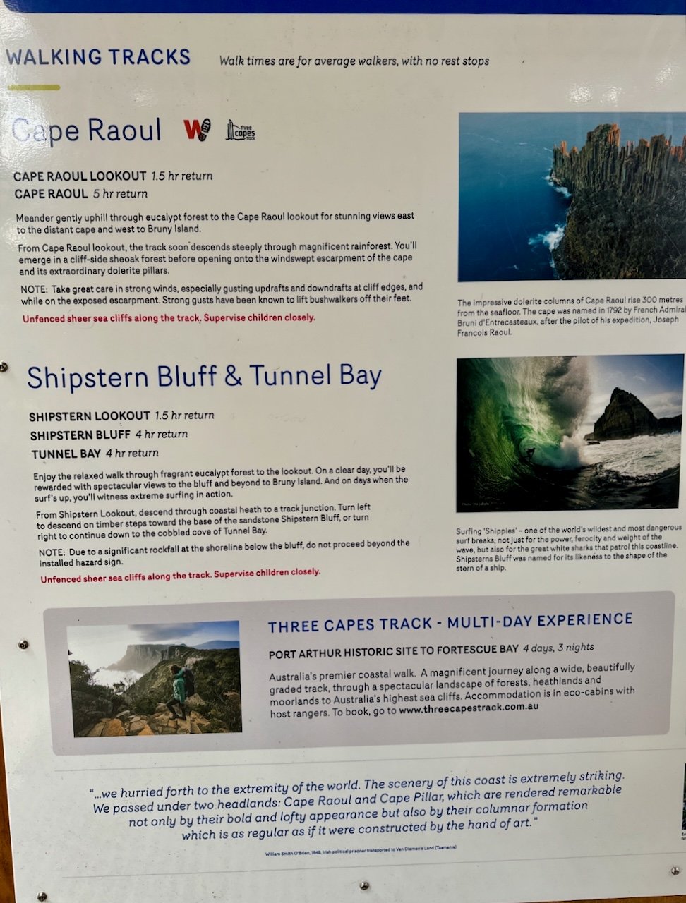
The next morning, we paused at the trail head to look over the sign boards, disinfect our shoes against root rot and continued up the track. Even though the parking lot was almost full due to the holiday weekend, we were able to walk along at our own pace and most often by ourselves observing nature undistracted. The trail was in great condition and the stone work along the way was impressive. In fact, there were so many stone staircases on this track, we started counting the steps on the way back - 367 total.
We arrived at the top of the bluff, and the first lookout, in twice the amount of time posted for 2.2km, and then saw how far we actually had left to go. The track continued down the ridge all the way out to the farthest edge of the Cape. Our views were brief, as the trail quickly turned back into the forest, and for the first time we had “switch-backs” down the ridge to reach the expanse of the plateau. Once the trail worked it’s way back to the edge, we had views again looking back at the bluff we had just descended.
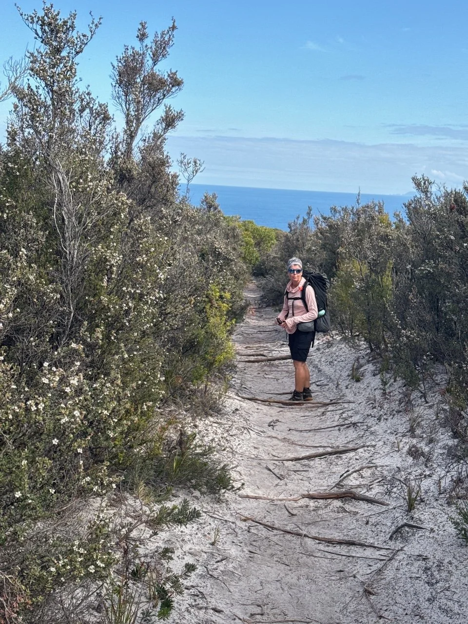
Emerging from underneath the canopy of Eucalypts, our viewpoints were brief again. The scraggly She-oaks rose just enough above our heads directing us to admire the wind-swept tunnel of tangled bush for several kilometers until it suddenly opened up to an almost desert looking landscape, crossing over a broad marsh and continued on a boardwalk to the furthest point on the cape.
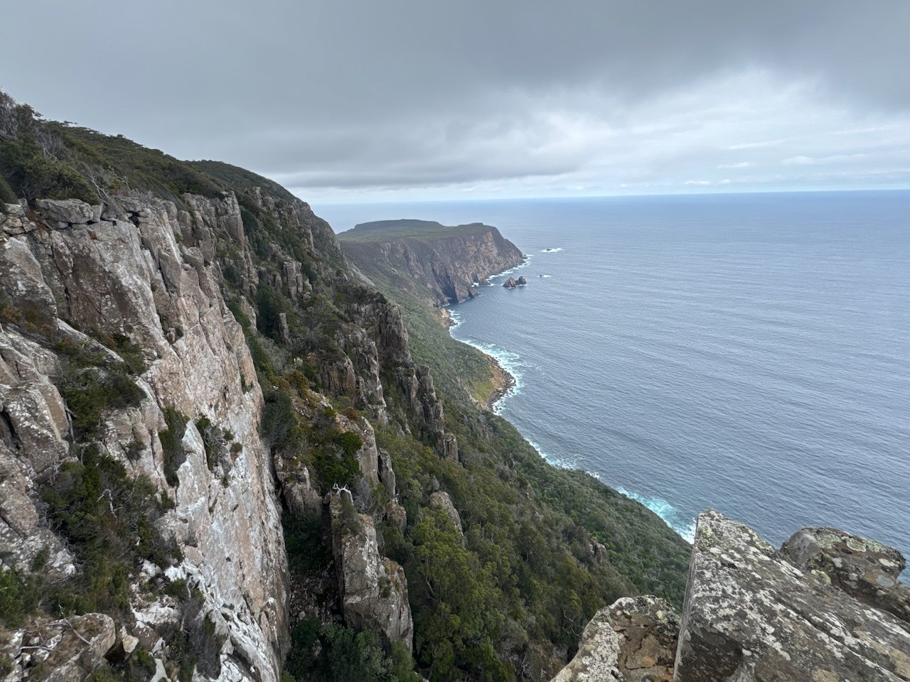
It took us awhile to pull ourselves away from the expansive views. Dolomite is simply mesmerizing, even more so looking from the top, down.
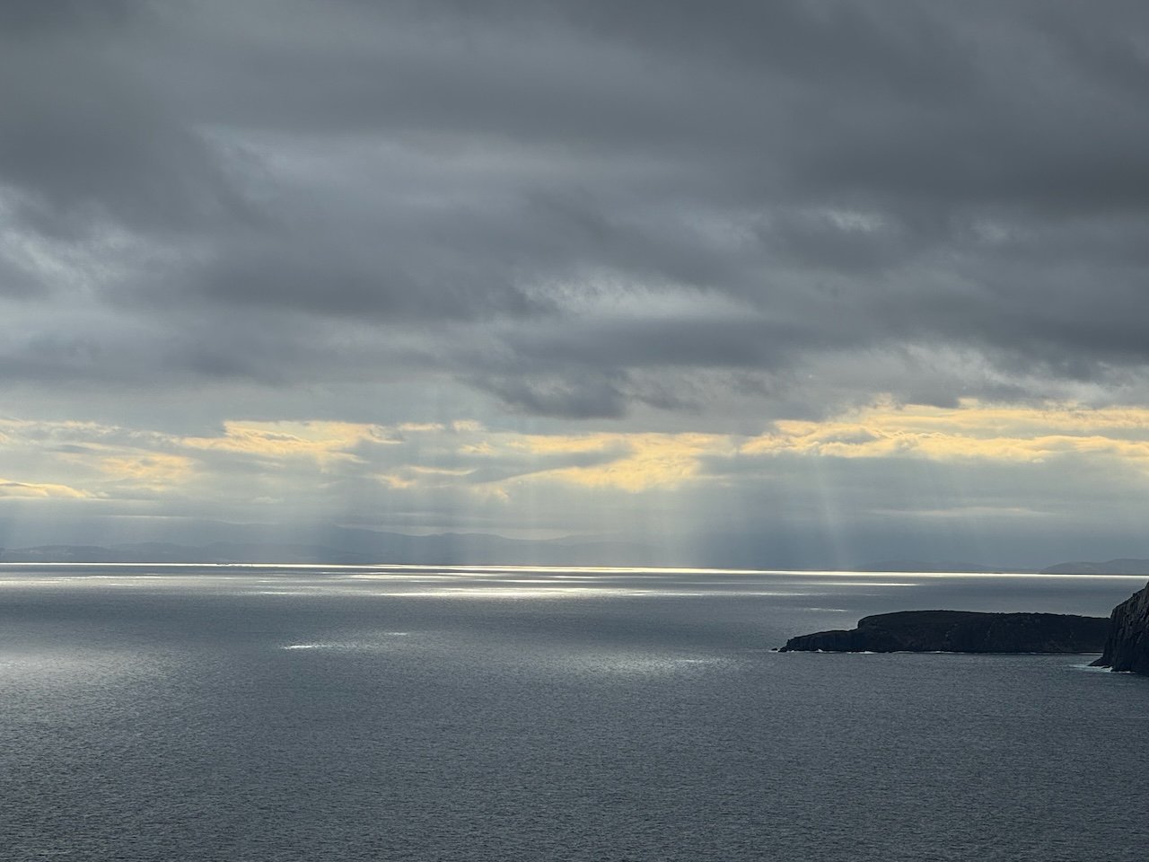
From Seal lookout we did find the seals lazing on the only shelf with rocks wide enough to support their girth. To the west, on the horizon is Cape Pillar, part of the Three Capes walk.
We sat for awhile at the Cape Raoul lookout taking in the views to the east of Bruny Island until we realized the afternoon was quickly slipping away.
After a day full of clouds, the sun finally broke through to cast its golden glow across the cliffs. It was hard to leave, but we had another day of hiking ahead of us to Shipstern Bluff. Somehow we managed to be the last ones off the trail, just before dusk, having hiked 18 kilometers, ascent 575 meters.
Shipstern Bluff Track
Thanks to five months of riding, we were ready to hike again the next morning. Rather than an out and back trip, today we planned to make a loop, starting on the same track, then turning east to Shipstern Bluff, then onto a forest road, first built as a Convict trail, that would take us back out to the main road just below the trailhead parking lot.
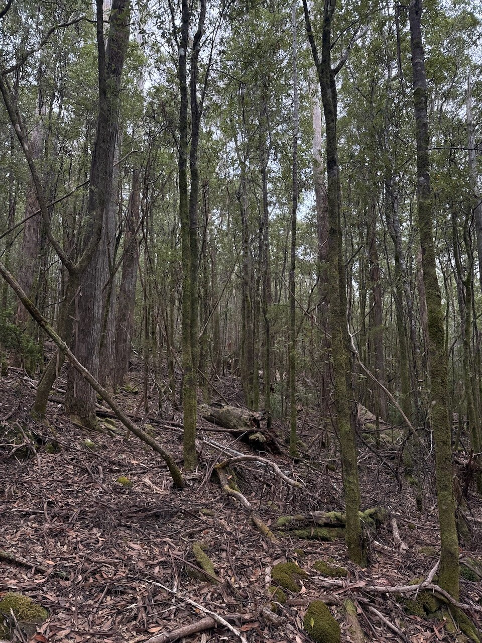
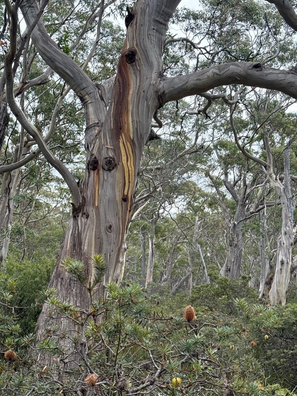
Amazingly with a simple change in direction, east instead of west, the forest took on a whole different feel - it was light and airy, whereas the other side had felt thick and mossy. To me, these forests always look magical and “alive”, the way the trees always seem to be reaching out to each other, especially on a bright sunny day. It delights my senses.
We have yet to be caught in an area like this in dark, stormy conditions. I can’t help but think that my delight would turn to fright - underneath their friendly demeanor, I can easily envision Snow White lost in the dark forest with angry branches bending down to clutch her skirt.
Our first viewpoint of Shipstern Bluff was stunning at the end of the cove below us. We could see holes in the sandstone on the far cliff and wondered if they would have ever been used as shelter by the first peoples or the second - convicts.
The track continued on down the ridge, again with switchbacks, and then leveled off as we left the forest to enter another long tunnel of bushes on a sandy track. After counting all the stone steps the day before, we were surprised to find this time a set of wooden staircases that really felt more like ladders, they were so steep - one after the other - we didn’t count them this time. At the bottom, was a rocky beach with a rough track leading off around the corner past some very animated-looking grasses - these of course, reminded me of the Muppets characters, just waiting for the music to start before popping to life to jam on their instruments.
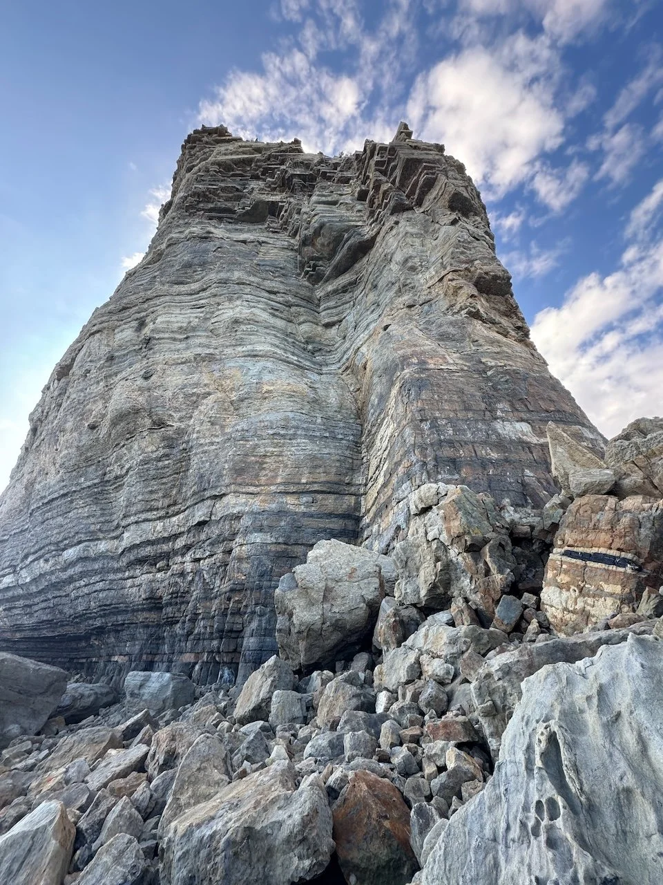
Well - at this point - I can let the photos speak for themselves. This place was breath-taking and surreal! The name totally fits this behemoth of a rock - it felt like looking up at a battleship, or cruise ship these days. Thankfully, our Warm Showers host had told us, “you haven’t seen Shipstern, unless you walk alllll the way out to the end”.
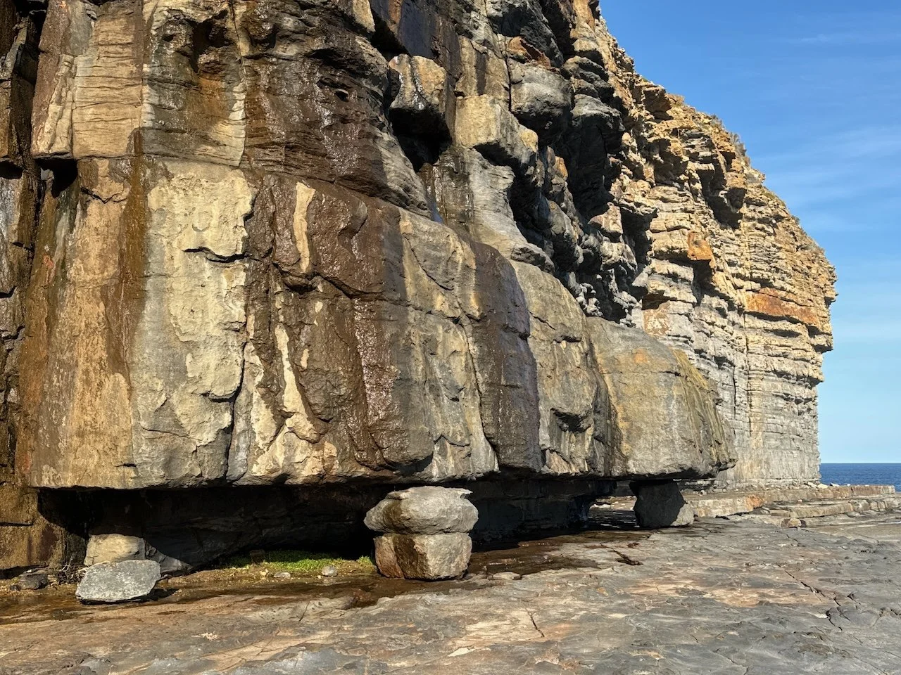
So we continued on around the point, walking the shelf, past tide pools and seeping rock, gawking at the massive scale of the rock cliff, and the boulders randomly strewn around us. Near the end of the shelf, we could hear the reverberating roar of waves crashing inside the massive cave below us. Even though we had been in and out of several caves by boat along the edge of Bruny, it was a whole other experience to sit on the ledge, peering down at the crashing waves, listening to noises burst forth from deep inside the cave.
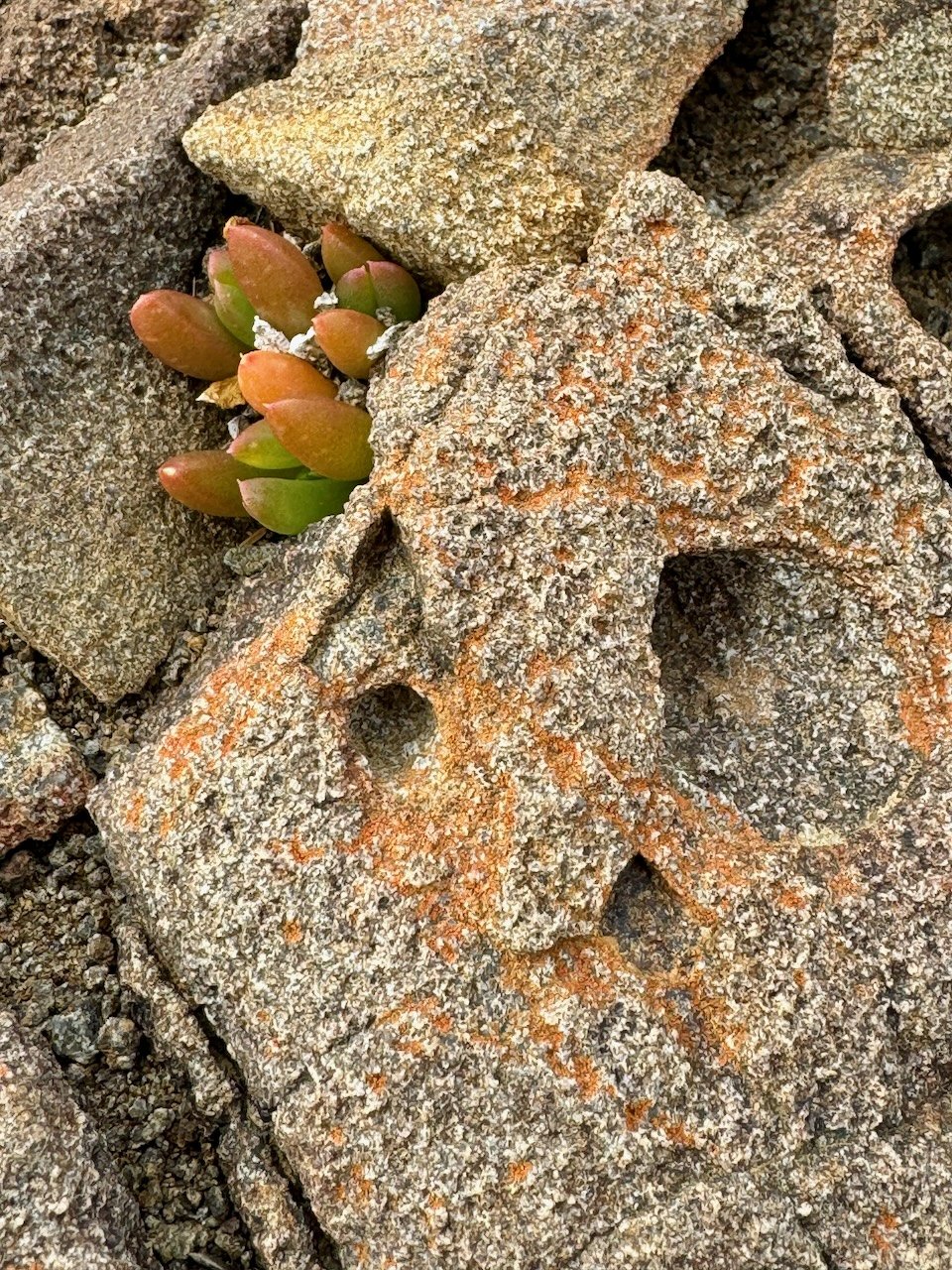
Archeological Find or Fossil imprint or ??
Nivaun put the Insta 360 in one of the pools and later discovered what look like etchings on the edge of a rock. Still wondering what they might be??
To complete our loop, we headed back up the staircases, past the track to Tunnel Bay, on to the road leaving the coastline. Within just a few meters, it felt like a convict march. This track barely resembled a road and it went straight up and straight down, over and over - no nicely paved stairs, no switchbacks, it was rutty and brushy, and exactly what I would imagine a convict trail to be. When we finally got to the highest point, we were so relieved. And then, even in the last couple kilometers, it was still up and down.
The exit to the main road is on private land, and is marked with an interesting story board about the convict trail and some track tips for anyone thinking this is a flip-flop excursion to the beach. After 14.5 kilometers and another 548 meters ascent, we were ready to get back on our bikes.
But first we took a rest day. After all, it was our 31st Anniversary and what a way to celebrate it!


